Maps for all occasions. Hiking, hunting, and vintage maps
Maps for all occasions. Hiking, hunting, and vintage maps


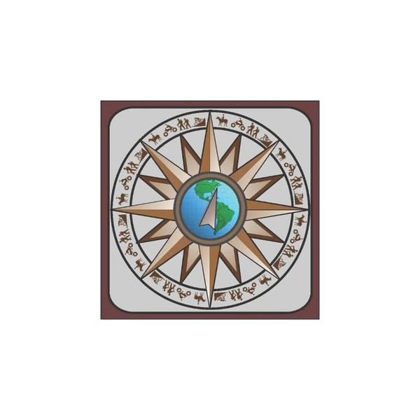
Hi all, my name is Viktor and I'm a geographer by education and trade but have always had a passion for those old hand-drawn cartographic maps. One of my first careers was as a draft person, where I learned to appreciate the art and skill of cartography. There was something hypnotic and satisfying to hand lettering a drawing. The feel of the mechanical pencil in your hand and the subtle vibration of the graphite on mylar. Eventually, I came to embrace technologies like AutoCAD, GIS, and Adobe for their efficiencies but these technologies also helped me appreciate the lost art of those old hand-drawn cartographic maps.
So I started collecting high-quality digital copies of my favorite cartographers and maps. This is my collection, what you see is not complete. I will be slowly but continuously adding new maps over time, so check back frequently or send me an email.